Your Route From Wrexham LL13 to Chester CH1
Route Summary
13.5 mi
27 mins
0
13 Miles
27 Minutes
Recommended travel books and guides

The Great British Bucket List: Utterly Unmissable Britain

52 Great British Weekends: A Year of Mini Adventures

2026 Philip's Big Easy to Read Britain Road Atlas

Lonely Planet Best Road Trips Great Britain
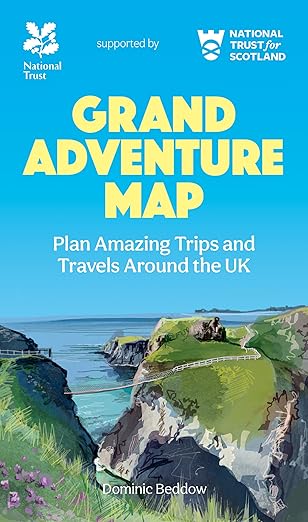
Grand Adventure Map: The ultimate map for travels around the UK

Where to Go When Great Britain and Ireland
As an Amazon Associate, we earn from qualifying purchases.
Route Map
Recommended motoring accessories for your car

HOTOR Car Boot Organiser

Lewis-Plast Premium 92 Piece First Aid Kit

Zacro Car Bin with 5 Garbage Bags
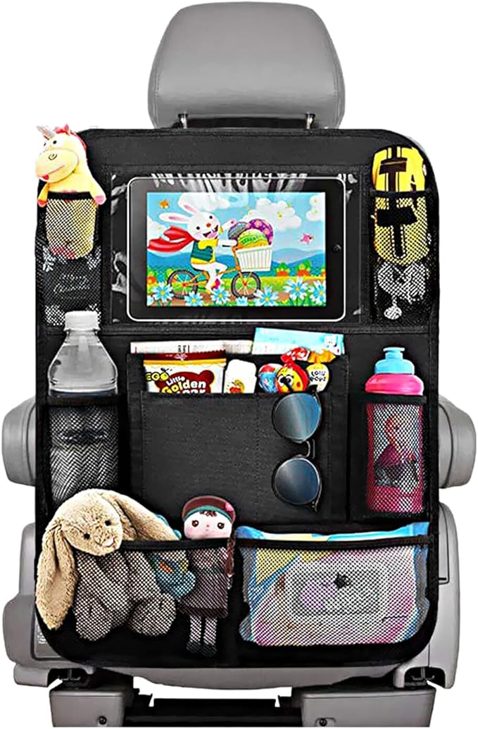
Car Seat Organiser

LISEN Retractable Car Phone Charger

iZEEKER 2.5K Dash Cam, 1440P QHD Car Camera
As an Amazon Associate, we earn from qualifying purchases.
Step-by-Step Directions
Head north-west on St Giles Way towards Town Hill
0.25
Continue straight onto Brook St
0.0
Continue onto Pentre Felin
0.0
At the roundabout, take the 2nd exit onto Watery Rd
0.0
At the roundabout, take the 3rd exit onto Bradley Rd/
0.0
Bradley Rd/
0.25
Turn left onto Regent St/
0.5
At Plas Coch Roundabout, take the 2nd exit onto Mold Rd/
0.0
At the roundabout, take the 4th exit onto the A483 slip road to Chester/
0.5
Merge onto A483
8.25
Last minute travel essentials

Rainberg Microfiber towel (180x90cm), Fast Drying

Pill Organizer,Pill Dispenser With 7 Large Compartments

Mini Travel Pillow, Soft Down Alternative Pillows

Teskyer Electronics Accessories Organiser Bag, Waterproof

NTONPOWER Travel Extension Lead, travel Essentials

Hiluckey Power Bank Portable Charger - 22.5W Fast Charging
As an Amazon Associate, we earn from qualifying purchases.
At Post House Roundabout/
0.5
At the roundabout, take the 2nd exit and stay on Wrexham Rd./
0.25
At the roundabout, take the 2nd exit and stay on Wrexham Rd./
1.0
At the roundabout, take the 4th exit onto Grosvenor Rd/
0.5
At the roundabout, take the 1st exit onto Nicholas St/
0.75
At the roundabout, take the 3rd exit onto Upper Northgate St
0.0
Upper Northgate St turns left and becomes Delamere St
0.25
Slight right towards George St
0.0
Merge onto George St
0.0
Turn left onto Northgate St
0.0
Arrive at your destination
Don't forget in-car food and drink essentials
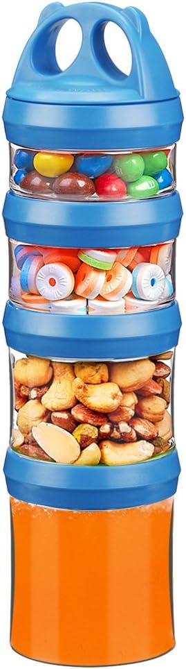
BeneLabel Snack Box, Stackable Snack Pot 4 Compartments

HASAGEI Travel Mug, Insulated Coffee Cup with Leakproof Lid

Thermos - Stainless King Red Travel Flask (1.2L)

SUNWILL Metal Water Bottle Stainless Steel 500ml
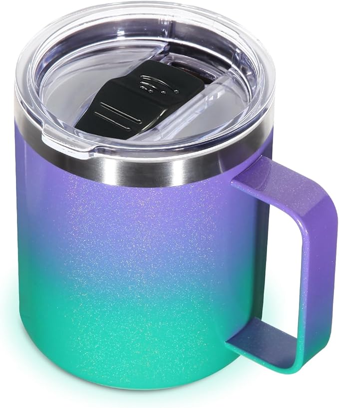
Volhoply 14oz Insulated Stainless Steel Coffee Mug

Super Sparrow Water Bottle Stainless Steel - Insulated
As an Amazon Associate, we earn from qualifying purchases.
