Your Route From Ipswich IP1 to Coventry CV1
Route Summary
139 mi
2 hours 38 mins
7
47 Miles
47 Minutes
Recommended travel books and guides
Grand Adventure Map: The ultimate map for travels around the UK

2026 Philip's Big Easy to Read Britain Road Atlas

52 Great British Weekends: A Year of Mini Adventures

Where to Go When Great Britain and Ireland

Lonely Planet Best Road Trips Great Britain
The Great British Bucket List: Utterly Unmissable Britain
As an Amazon Associate, we earn from qualifying purchases.
Route Map
Service Areas Along Route
Beacon Hill services
Norwich Road, Coddenham, Ipswich, Suffolk, IP6 8LP
Tot Hill services
Tothill Garage, Tot Hill, Stowmarket, Suffolk, IP14 3QQ
Cambridge services
Cambridge Services, A14, Boxworth, Cambridge, Cambridgeshire, CB23 4WU
Thrapston services
Thrapston Service Area, Thrapston, Kettering, Northamptonshire, NN14 4UR
Kettering services
A14 Services, Kettering, Northamptonshire, NN14 1RW
Rothwell services
A14 Eastbound, Kettering, Northamptonshire, NN14 1SS
Rugby
Moto Hospitality, Rugby Motorway Services Junction 1 M6, Leicester Road, Churchover, Rugby, Warwickshire, CV23 0EZ
Recommended motoring accessories for your car
Car Breakdown Emergency Kit

Zacro Car Bin with 5 Garbage Bags

iZEEKER 2.5K Dash Cam, 1440P QHD Car Camera

LISEN Retractable Car Phone Charger

HOTOR Car Boot Organiser

AA Euro Travel Kit AA6318
As an Amazon Associate, we earn from qualifying purchases.
Step-by-Step Directions
Head west towards Civic Dr/
0.0
Exit the roundabout onto St Matthew's St/
0.5
At the roundabout, take the 2nd exit onto Chevallier St/
0.0
At the roundabout, take the 1st exit onto Norwich Rd/
1.75
At the roundabout, take the 3rd exit onto Bury Rd/
0.25
At the roundabout, take the 3rd exit onto Bury Rd
0.25
Take the slip road onto A14
42.5
Beacon Hill services Norwich Road, Coddenham, Ipswich, Suffolk, IP6 8LP
Tot Hill services Tothill Garage, Tot Hill, Stowmarket, Suffolk, IP14 3QQ
Keep right to stay on A14, follow signs for The Midlands/
11.25
Take the slip road to A14
1.25
Slight right onto the slip road to A14
0.0
Continue onto A14
13.75
Cambridge services Cambridge Services, A14, Boxworth, Cambridge, Cambridgeshire, CB23 4WU
At junction 22, exit towards A1
0.5
Slight right to merge onto A1
3.25
Take the B1043 exit towards Alconburys/
0.25
At the roundabout, take the 2nd exit onto Great N Rd
0.5
Continue onto North Rd
0.75
Turn left onto Buckworth Rd
0.5
Last minute travel essentials

Pill Organizer,Pill Dispenser With 7 Large Compartments
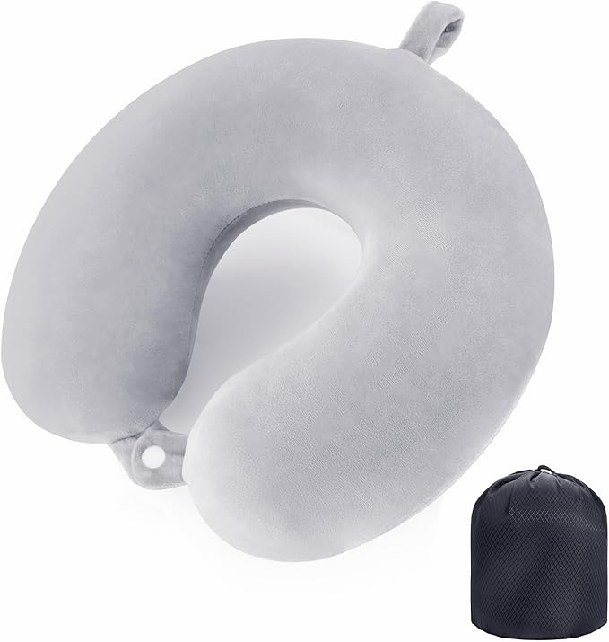
Travel Pillow Neck Pillow Memory Foam Travel Pillow

NTONPOWER Travel Extension Lead, travel Essentials

Rainberg Microfiber towel (180x90cm), Fast Drying

BAGAIL Microfibre Travel Towel, Perfect Travel Towel

Hiluckey Power Bank Portable Charger - 22.5W Fast Charging
As an Amazon Associate, we earn from qualifying purchases.
Turn right
1.75
Turn right
0.0
Turn left
1.5
Continue onto High St
1.5
Turn left onto Main St/
1.25
Turn left to stay on B660
1.75
Turn left to merge onto A14 towards Kettering
35.75
Thrapston services Thrapston Service Area, Thrapston, Kettering, Northamptonshire, NN14 4UR
Kettering services A14 Services, Kettering, Northamptonshire, NN14 1RW
Rothwell services A14 Eastbound, Kettering, Northamptonshire, NN14 1SS
Keep right to continue on M6
14.25
Rugby Moto Hospitality, Rugby Motorway Services Junction 1 M6, Leicester Road, Churchover, Rugby, Warwickshire, CV23 0EZ
At junction 3, take the A444 exit to Bedworth/
0.25
At Exhall Interchange, take the 2nd exit onto Jimmy Hill Wy./
1.0
At Rowleys Green Roundabout, take the 2nd exit and stay on Jimmy Hill Wy./
0.75
At the roundabout, take the 2nd exit onto Holbrook Way/
0.25
At the roundabout, take the 1st exit and stay on Holbrook Way/
0.25
At the roundabout, take the 1st exit onto Holbrook Ln/
0.0
At the roundabout, take the 1st exit and stay on Holbrook Ln/
0.75
Continue onto Foleshill Rd/
0.25
Continue onto Foleshill Rd/
0.5
Arrive at your destination
Don't forget in-car food and drink essentials
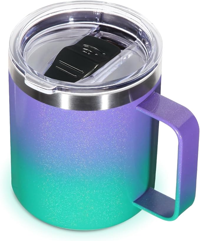
Volhoply 14oz Insulated Stainless Steel Coffee Mug

SUNWILL Metal Water Bottle Stainless Steel 500ml
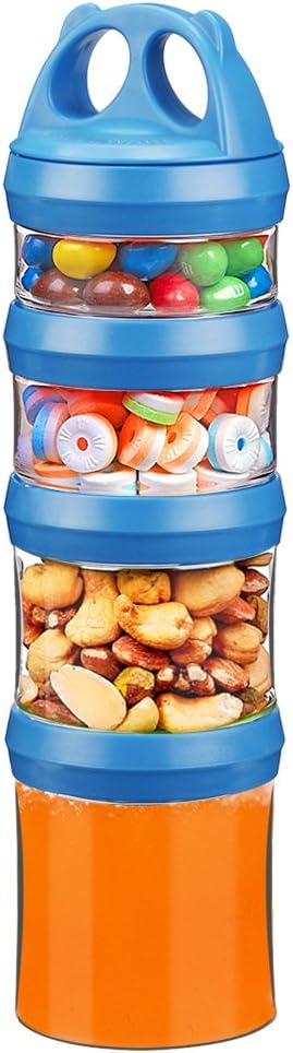
BeneLabel Snack Box, Stackable Snack Pot 4 Compartments

Super Sparrow Water Bottle Stainless Steel - Insulated

Travel Mugs,KETIEE 380ml Insulated Coffee Cup with Leakproof Lid

HASAGEI Travel Mug, Insulated Coffee Cup with Leakproof Lid
As an Amazon Associate, we earn from qualifying purchases.