Your Route From Droitwich WR9 to Seaton EX12 Via Bath BA1
Route Summary
143 mi
3 hours 30 mins
6
61 Miles
101 Minutes
Recommended travel books and guides

Lonely Planet Best Road Trips Great Britain

Grand Adventure Map: The ultimate map for travels around the UK

AA Easy Read Britain 2026 flexi bound

The Great British Bucket List: Utterly Unmissable Britain

52 Great British Weekends: A Year of Mini Adventures

Where to Go When Great Britain and Ireland
As an Amazon Associate, we earn from qualifying purchases.
Route Map
Service Areas Along Route
Strensham
Roadchef Motorways Ltd, Strensham M5 Service Area, Strensham, Hill Croome, Upton-upon-Severn, Worcester, Worcestershire, WR8 0BZ
Gloucester
Gilberts Lane, Brookthorpe, Gloucester, Gloucestershire, GL4 0DN
Michaelwood
Welcome Break, Michaelwood Service Area, Lower Wick, Dursley, Gloucestershire, GL11 6DD
Podimore services
A303-A37 Roundabout, Podimore, Yeovil, Somerset, BA22 8JG
Townsend services
Townsend Garage, Tintinhull, Yeovil, Somerset, BA22 8PF
Cartgate picnic area
Cartgate Picnic Centre, Stoke-sub-Hamdon, Somerset, TA14 6RA
Recommended motoring accessories for your car

LISEN Retractable Car Phone Charger

AA Euro Travel Kit AA6318

HOTOR Car Boot Organiser

Lewis-Plast Premium 92 Piece First Aid Kit

Car Breakdown Emergency Kit
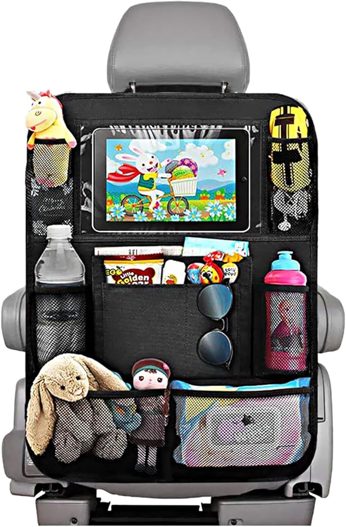
Car Seat Organiser
As an Amazon Associate, we earn from qualifying purchases.
Step-by-Step Directions
Head east on West St towards Albert St
0.0
Turn left onto Albert St
0.0
Turn left at the 1st cross street onto Ombersley Rd
0.0
Turn left to stay on Ombersley Rd
0.0
Turn left onto Stalls Farm Rd
0.25
Turn right onto Celvestune Way
1.0
At the roundabout, take the 3rd exit onto A38
1.0
Turn left onto Pershore Ln/
1.75
At the roundabout, take the 2nd exit and stay on Pershore Ln/
0.25
At the roundabout, take the 4th exit onto the M5 slip road to South Wales/
0.5
Merge onto M5
53.25
Strensham Roadchef Motorways Ltd, Strensham M5 Service Area, Strensham, Hill Croome, Upton-upon-Severn, Worcester, Worcestershire, WR8 0BZ
Gloucester Gilberts Lane, Brookthorpe, Gloucester, Gloucestershire, GL4 0DN
Michaelwood Welcome Break, Michaelwood Service Area, Lower Wick, Dursley, Gloucestershire, GL11 6DD
At junction 15, take the M4(E) exit to London/
0.75
Merge onto M4
9.5
At junction 18, take the A46 exit to Bath/
0.75
At Tormarton Interchange, take the 3rd exit onto A46
2.5
Turn right onto Gorse Ln
1.5
Turn right onto A420
0.0
Turn left onto Freezinghill Ln
1.5
Turn left
2.75
Continue onto Lansdown Rd
0.75
Turn left onto Richmond Rd
0.0
Turn right onto Richmond Hill
0.0
Slight right onto Mount Beacon Pl
0.0
Head west on Mount Beacon Pl towards Richmond Hill
0.0
Continue straight onto Richmond Hill
0.0
Turn left onto Richmond Rd
0.0
Continue onto Lansdown Rd
0.5
Turn right onto George St/
0.25
Turn left onto Gay St/
0.25
Continue straight onto Chapel Row
0.0
Continue onto Charles St/
0.5
Turn left onto Broad Quay/
0.0
At Churchill Bridge Roundabout, take the 2nd exit onto Wells Rd/
2.5
At Odd Down Roundabout, take the 3rd exit onto Roman Rd/
2.75
Last minute travel essentials

Teskyer Electronics Accessories Organiser Bag, Waterproof
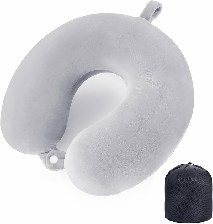
Travel Pillow Neck Pillow Memory Foam Travel Pillow

BAGAIL Microfibre Travel Towel, Perfect Travel Towel

NTONPOWER Travel Extension Lead, travel Essentials

Rainberg Microfiber towel (180x90cm), Fast Drying

Pill Organizer,Pill Dispenser With 7 Large Compartments
As an Amazon Associate, we earn from qualifying purchases.
Slight left towards A367
0.0
Merge onto A367
1.0
At the roundabout, take the 2nd exit and stay on A367
2.5
At the roundabout, take the 2nd exit and stay on A367
0.0
At the roundabout, take the 1st exit onto Wells Rd/
0.0
At the roundabout, take the 2nd exit and stay on Wells Rd/
1.5
At the roundabout, take the 2nd exit onto Fosseway S/
0.5
At the roundabout, take the 2nd exit onto Fosseway/
4.75
Turn left onto Long Hill/
3.0
At the roundabout, take the 2nd exit onto Whitstone Rd/
0.5
At the roundabout, take the 2nd exit and stay on A37
12.0
Podimore services A303-A37 Roundabout, Podimore, Yeovil, Somerset, BA22 8JG
At Podimore Roundabout, take the 3rd exit onto A303
5.5
Townsend services Townsend Garage, Tintinhull, Yeovil, Somerset, BA22 8PF
Cartgate picnic area Cartgate Picnic Centre, Stoke-sub-Hamdon, Somerset, TA14 6RA
At Cartgate Roundabout, take the 2nd exit and stay on A303
3.25
At Hayes End Roundabout, take the 2nd exit onto Harp Rd
1.25
At the roundabout, take the 1st exit
0.0
Continue onto Hollow Ln
0.25
Turn right onto Snapant
0.25
Continue onto Roman Rd
1.5
Continue onto Hollow Ln
0.25
Continue straight
0.0
Turn left onto Fisher's Ln
0.25
Turn left
1.5
Sharp right onto St Rayn Hill/
2.5
Turn left onto Roman Rd/
4.25
Turn left onto Chard Rd/
3.5
At the roundabout, take the 2nd exit and stay on Chard Rd/
0.25
Chard Rd/
0.0
Turn left onto Lyme St/
0.0
Turn right onto South St
0.0
Continue onto Musbury Rd
0.75
Continue onto A358
3.75
Turn right onto Boshill Hill/
2.25
Turn left onto Seaton Down Hill/
0.75
Turn right onto Bunts Ln
0.25
Turn left onto Durley Rd
0.0
Arrive at your destination
Don't forget in-car food and drink essentials

Super Sparrow Water Bottle Stainless Steel - Insulated

HASAGEI Travel Mug, Insulated Coffee Cup with Leakproof Lid
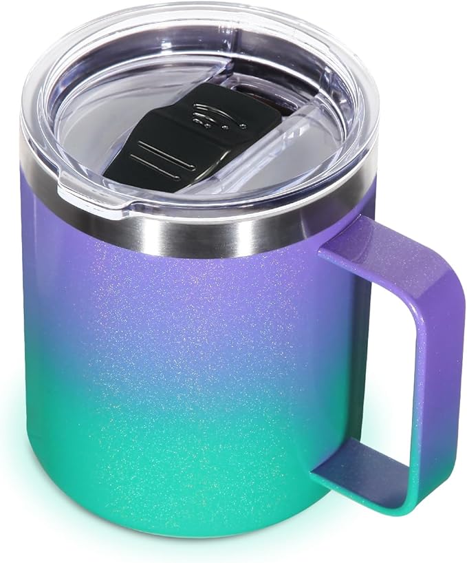
Volhoply 14oz Insulated Stainless Steel Coffee Mug

BeneLabel Snack Box, Stackable Snack Pot 4 Compartments
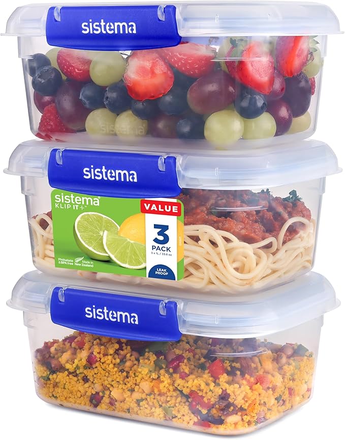
Sistema KLIP IT PLUS Leakproof Food Storage Containers

Thermos - Stainless King Red Travel Flask (1.2L)
As an Amazon Associate, we earn from qualifying purchases.
